

La Bastide-Le Lachens 2

Sugg
User

Length
15.4 km

Max alt
1706 m

Uphill gradient
788 m

Km-Effort
26 km

Min alt
972 m

Downhill gradient
786 m
Boucle
Yes
Creation date :
2019-03-22 16:59:52.85
Updated on :
2019-03-22 16:59:53.243
5h24
Difficulty : Difficult

FREE GPS app for hiking
About
Trail Walking of 15.4 km to be discovered at Provence-Alpes-Côte d'Azur, Var, La Bastide. This trail is proposed by Sugg.
Description
03-12-14
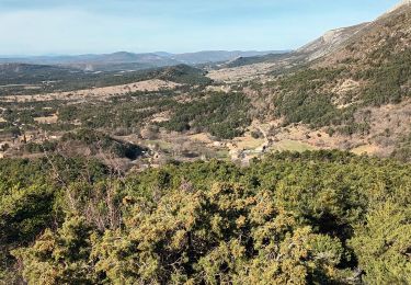
Rando Restons en Forme avec Pierre au départ de La Bastide.
22 randonneurs ( neuses )
Pique-nique à la table d'orientation.
Temps agréable avec de belles éclaircies.
Voir les explications de certaines photos.
Positioning
Country:
France
Region :
Provence-Alpes-Côte d'Azur
Department/Province :
Var
Municipality :
La Bastide
Location:
Unknown
Start:(Dec)
Start:(UTM)
308723 ; 4845304 (32T) N.
Comments
Trails nearby
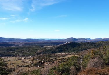
Montagne de Brouis. Bargeme


Walking
Easy
(1)
Bargème,
Provence-Alpes-Côte d'Azur,
Var,
France

11.7 km | 19.4 km-effort
3h 36min
Yes
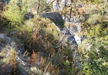
bargeme pierre


Walking
Very easy
(1)
Bargème,
Provence-Alpes-Côte d'Azur,
Var,
France

7.9 km | 11.7 km-effort
2h 40min
Yes
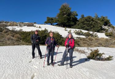
Lachens le tour trace réelle


Walking
Very difficult
La Bastide,
Provence-Alpes-Côte d'Azur,
Var,
France

18.7 km | 35 km-effort
7h 55min
Yes
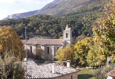
Mont Lachens depuis La Bastide


Walking
Very difficult
La Bastide,
Provence-Alpes-Côte d'Azur,
Var,
France

11.9 km | 22 km-effort
3h 58min
Yes
Le Lachens 2024


Walking
Difficult
La Bastide,
Provence-Alpes-Côte d'Azur,
Var,
France

18.8 km | 35 km-effort
7h 56min
Yes
Bargème - Rive de l'Artuby - Pont Madame - La Bastide


Walking
Difficult
Bargème,
Provence-Alpes-Côte d'Azur,
Var,
France

21 km | 31 km-effort
7h 2min
Yes
Bargème ; Tour du Brouis


Walking
Medium
Bargème,
Provence-Alpes-Côte d'Azur,
Var,
France

22 km | 32 km-effort
7h 13min
Yes
Bargeme pont de madame brouis la bastide


sport
Very easy
Bargème,
Provence-Alpes-Côte d'Azur,
Var,
France

21 km | 30 km-effort
Unknown
Yes
Le Lachens-la Bastide-20-03-23


Walking
Difficult
La Bastide,
Provence-Alpes-Côte d'Azur,
Var,
France

19 km | 33 km-effort
5h 15min
Yes


 SityTrail


